Jef and I, love to travel and we love hiking in autumn since the colors are spectacular. Nature is where we, as artists get most inspiration from. Here are some of the many wonderful and inspiring sights we visited during our month long trip to South Korea. This trip gave us renewed energy and we both look forward to our next adventure. We'd also like to take this chance to thank those who continue to support our art.
SEORAKSAN NATIONAL PARK:
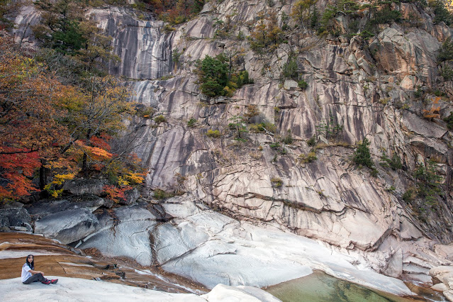
7.2 km (to and from) walking course from the Park entrance to Geumganggul Hermitage Cave

Jef at the entrance of Geumganggul Hermitage Cave
 |
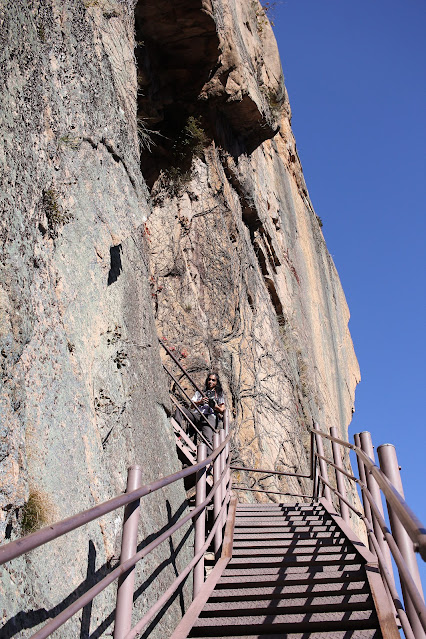
| View at Geumganggul Hermitage Cave |
BUKHANSAN NATIONAL PARK:On our 2019 trip, we completed the Baegundae Peak walking course which was the most difficult among all the walking trails in Bukhansan National Park. This time, we completed the Siseondae walking course and Bogukmun walking course.
SISEONDAE course - 6.4 km walking course, very steep ; taking this course gets you to the three highest peaks in the mountain, which are: Seoninbong Peak (708m), Manjangbong Peak (718), and Jaunbong Peak (740m).
 |
| view of the majestic Dobongsan Mountain from afar |
 |
| There are a lot of temples along the trails. Cheonchuksa Temple is one of them. |
 |
| entrance of Cheonchuksa Temple |
 |
| Another human-like rock formation. |
When an artist gets too inspired, he creates.
View of Seoul city center from the peak


 |
Taken on our descent.
 | | Taken as the sun was setting. |
|
BOGUKMUN Course: 6 km loop course from Jongneung entrance to Bogungmun (Gate) to Daeseongmun (Gate) then descended from there.
Fortress wall connecting Bogungmun (Gate) and Daeseongmun (Gate): Baegundae peak in the background which we completed back in 2019:
DAEDUNSAN PROVINCIAL PARK:
5 km walking course to Maecheondae Summit which is 878 m high.
Cloud Bridge

Very Steep stairway
Macheondae Peak Tower in the background
GYERYEONGSAN NATIONAL PARK:
Donghaksa Walking Course- 8.8km to and from Gwaneumbong Peak.


After accomplishing very long hikes, Jef would still find time to create even during our rest days. This was taken in one of our accommodations in Daejeon. SONGNISAN NATIONAL PARK:
This was about an hour travel by bus from our hotel in Daejeon and we didn't have enough time to hike up to Mujangdae Peak which is 6km (one way) so we just strolled around the 2km nature trail around Beopjusa Temple.


We found a lot of rock and stone assemblages like this in majority of hiking trails in Korea. A hiker adds a rock or stone as they pass by. Jef would also do the same.
Another human-like rock formation.
This forest had a "Sleepy Hollow" vibe to it.
BUSAN: 6 km hike
On this trip, Jef wanted an art medium that is easy to carry during our hikes and easy to dry. Jef experimented with gouache which is similar to water color but more opaque. This is one of the colored sketches he finished during this trip:
Evanescent II, 12" x 9", Gouache on paper, 2022
JEJU ISLAND:
Halla Arboreteum
An alligator-like volcanic rock formation beside Yongduam Rock
Yongyeon Pond
Sanbangsan Mountain, Sanbanggulsa Cave Temple and Bomunsa Temple:
Cavities or hollows called Tafoni created by cavernous weathering of the interior of rock outcrops and boulders.
Cheonjeyeon Falls: Stone pillars formed from the cooling of lava as it flows in a body of water
Seonimgyo Bridge
A paddling of ducks cooling from the midday heat.
Jeongbang Falls: 

Odolgae/ Lonely Rock, another unique volcanic rock formation
Jusangjeolli Cliff - rock pillars shaped like cubes or hexagon formed due to stress while the lava cools as it flows to the sea or ocean.
EAST JEJU:


Manjanggul Lava Tube Tunnel Cave: 2km walking course
A giant lava column formed when volcanic lava flows from a hole in the upper portion of the cave. It is the tallest lava column (7.6m) in the world that has been discovered as of yet.
Bijarim Forest:
Love tree - formed as two trees intertwined


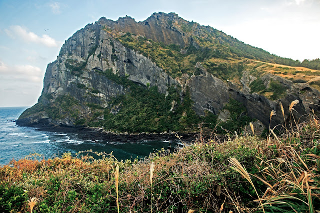
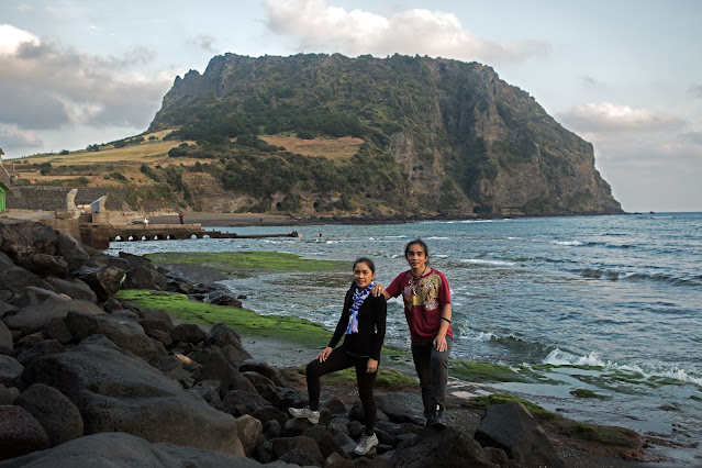
Seongsan Ilchulbong Volcanic Cone
Seongsan Ilchulbong Volcanic Cone crater
Saryeoni Forest Path: 10 km walking course
If you're wondering, we visited all these amazing sites on our own and without seeking assistance from travel guides/agencies. Yes, it can be difficult and confusing at times getting to and from each site but we were able to achieve it with intensive research/preparation and with the help of online and offline maps like Google and Kakao Maps. Only do so if you're confident with your preparations and navigations skills. |
|












No comments:
Post a Comment